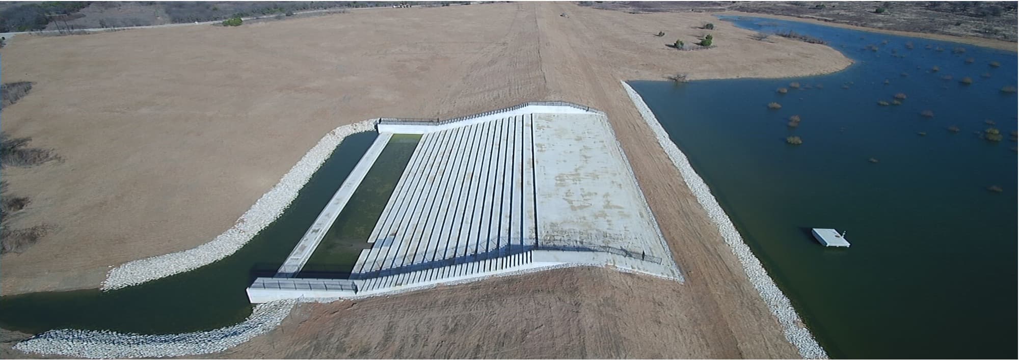
Legislative & Funding
Legislative & Funding
TAWS works alongside the Texas State Soil and Water Conservation Board to keep the Flood Control Program funded. This page gives sponsors what they need to make that case at the Capitol — no expertise required.
The funding picture
Where the money comes from, what is being asked for in the 2027 session, and why it matters.
The Texas State Soil and Water Conservation Board is the state partner with USDA in funding the operation, maintenance, repair, rehabilitation and upgrade of Texas flood control dams. The Legislature created its Flood Control Program in 2010.
The Texas Commission on Environmental Quality regulates every dam in the state and sets its hazard classification — high hazard where lives are at risk, significant where property or a bus route is, and low where the risk is limited. That classification drives what a sponsor must do and what funding it can reach.
763
Texas dams classified high hazard
617
of those needing upgrades
$4 billion
rehabilitation backlog statewide
That is the gap. The Legislature currently provides the Flood Control Program about $50 million per two-year funding cycle, against a $4 billion backlog of rehabilitation and upgrade needs — and roughly 20 more dams are reclassified as high hazard each year as development spreads downstream of structures that were built in open country.
What TAWS is supporting in the 2027 session
1.Exemption from water rights permitting
A bill to be proposed by Senator Zaffirini creating an exemption from the requirement to obtain a TCEQ permit for certain dams or reservoirs operated for erosion, floodwater and sediment control. A prior version passed the Legislature in the second special session last year but was vetoed by the Governor.
2.Emergency Action Plans for high and significant hazard dams
$5 millionTSSWCB Exceptional Item 2 — to help local governments and dam sponsors develop and implement the Emergency Action Plans they are required to hold.
3.Continued elimination of the rehabilitation backlog
$150 millionTSSWCB Exceptional Item 3 — to accelerate work against the $4 billion backlog of rehabilitation needs. Many dams have been redesignated high hazard because of downstream development and must be brought up to current design and construction standards. Where 65% federal rehabilitation funding is available, this provides the 35% state share.
4.Enhanced technical assistance for operation and maintenance
$1 millionTSSWCB Exceptional Item 4 — to administer a Technical Assistance Program giving local Soil and Water Conservation Districts the resources to handle O&M, repairs, rehabilitation and upgrades, pursue grant funding, develop EAPs and carry out annual inspections.
Dams by Senate district
Find your district, see how many flood control structures sit in it, and take the map with you.
2,039
flood control structures statewide
20
of 31 Senate districts have them
22
district maps to download
20 districts shown · 2,039 structures
| District | Senator | Dams | Map |
|---|---|---|---|
| SD 1 | Bryan Hughes | 99 | Download PDF |
| SD 2 | Bob Hall | 278 | Download PDF |
| SD 3 | Robert Nichols | 18 | Download PDF |
| SD 5 | Charles Schwertner | 81 | Download PDF |
| SD 8 | Angela Paxton | 119 | Download PDF |
| SD 10 | Phil King | 122 | Download PDF |
| SD 12 | Tan Parker | 103 | Download PDF |
| SD 18 | Lois Kolkhorst | 28 | Download PDF |
| SD 19 | Roland Gutierrez | 27 | Download PDF |
| SD 20 | Juan Hinojosa | 7 | Download PDF |
| SD 21 | Judith Zaffirini | 85 | Download PDF |
| SD 22 | Brian Birdwell | 291 | Download PDF |
| SD 23 | Royce West | 1 | Download PDF |
| SD 24 | Pete Flores | 73 | Download PDF |
| SD 25 | Donna Campbell | 31 | Download PDF |
| SD 26 | José Menéndez | 1 | Download PDF |
| SD 28 | Charles Perry | 267 | Download PDF |
| SD 29 | César Blanco | 16 | Download PDF |
| SD 30 | Drew Springer | 314 | Download PDF |
| SD 31 | Kevin Sparks | 78 | Download PDF |
Counts supplied by TAWS, 2024. Maps produced January 2023, reflecting the current district boundaries. Confirm the sitting senator on the Texas Senate directory before a meeting — seats change between elections.
District maps
One map per Senate district, showing every flood control structure inside it.
Each map plots the individual structures against county lines and the district boundary, so a legislator can see at a glance what sits in the area they represent. Print it and take it in.
Maps download from the table above — find your district and use the link in the last column. Every district that has structures has a map.
Sample letters & handouts
Grab a template, put your district's details in it, and go.
Step 1
Find your districts
Look up the House and Senate districts your structures sit in, and how many of those are classified high hazard.
Step 2
Take the map
Print the map for that district. It shows every flood control structure your legislator is responsible for.
Step 3
Adapt a letter
Start from the sample letter, put your district's name and numbers in it, and send it ahead of the meeting.
Step 4
Bring the handout
Leave a one-page summary behind. Staff read the leave-behind more often than they read the letter.
Sample letters and handouts are being prepared by TAWS and will be posted here when they are ready.